Imray Nautical Charts A Series – Virgin Islands
£23.95 - £29.95
Imray Nautical Charts A Series - Virgin Islands
In-Store Content
Imray Nautical charts covering The Virgin Islands – A Series
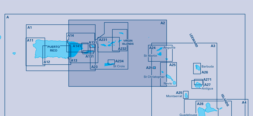
A2 – Puerto Rico to the Virgin and Leeward Islands
Scale: 1:400,000 WGS84
Plans included:
Sombrero Island (1:15 000)
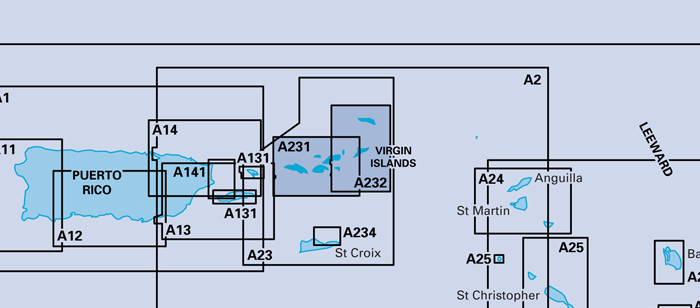
A233 – Virgin Islands
Scale: 1:90,000 WGS 84
A double-sided chart combining charts A231 and A232
Plans included:
Charlotte Amalie (St Thomas) (1:30,000)
Cruz Bay (St John) (1:20,000)
Road Harbour, Sea Cow Bay & Nanny Cay Marina (Tortola) (1:20,000)
Benner Bay (St Thomas) (1:20,000)
Great Camanoe to Scrub Island (1:20,000)
Part Number
Area
Port Solent
Warehouse
YOT0918
A2
2
0
A233
A233
2
0


