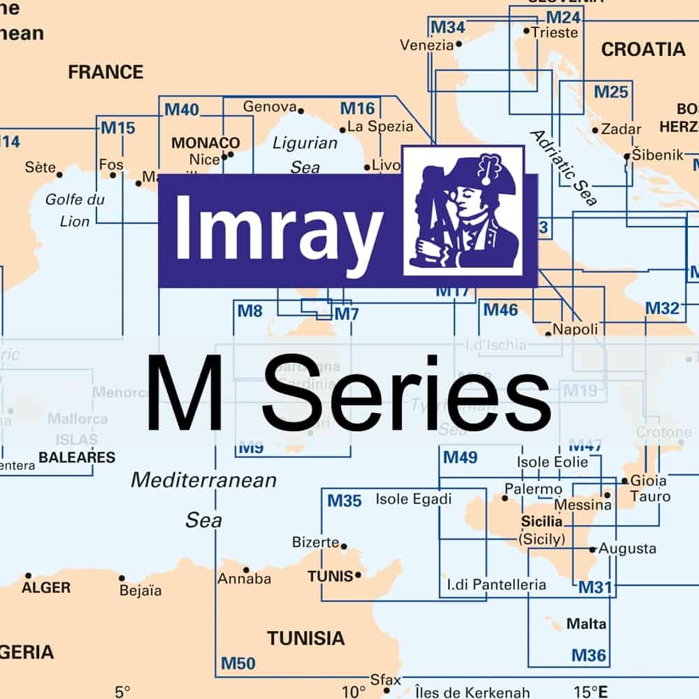
Imray M Series Nautical Charts – Mediterranean Sea
£ 23.95
Imray Marine charts covering Western Mediterranean & Croatia; incl Mediterranean passage charts. M Series.
For Mediterranean coverage area please click HERE
For Central Mediterranean coverage area please click HERE
M3 Islas Baleares – Formentera, Ibiza, Mallorca and Menorca
M6 Île de Corse
M7 Bonifacio Strait
M8 North Sardegna
M9 South Sardegna
M10 Western Mediterranean – Gibraltar to the Ionian Sea
M11 Gibraltar to Cabo de Gata & Morocco
M12 Cabo de Gata to Dénia & Ibiza
M13 Dénia to Barcelona and Ibiza
M14 Barcelona to Bouches du Rhône
M15 Marseille to San Remo
M16 Ligurian Sea
M17 North Tuscan Islands to Rome
M18 Capo d’Anzio to Capo Palinuro
M19 Capo Palinuro to Punta Stilo
M20 Eastern Mediterranean – Sardegna to Port Said and the black Sea
M21 South Coast of Turkey, Syria, Lebanon & Cyprus
M22 Egypt to Israel, Lebanon and Cyprus
M23 Adriatic Sea – Golfo di Trieste to Bar and Promontorio del Gargano
M24 Golfo di Trieste to Lošinj and Rab
M25 Otok Rab to Šibenik
M26 Split to Dubrovnik
M27 Dubrovnik to Bar and Ulcinj
M29 Golfo di Taranto
M30 Southern Adriatic and Ionian Seas – Dubrovnik to Kérkira (Corfu) & Sicilia
M31 Sicilia
M32 Adriatic Italy (South) – Pescara to Bari
M33 Adriatic Italy (North) – Po Delta to Pescara
M34 Golfo di Venezia
M35 Sicilian Channel
M36 South Coast of Sicily to Malta
M40 Ligurian and Tyrrhenian Seas
M45 Tuscan Archipelago
M46 Isole Pontine to the Bay of Naples
M47 Aeolian Islands
M49 West Sicily and Egadi Islands
M50 Sardegna to Ionian Sea

