Order with next working day delivery before 3PM Wednesday 16th April 2025 for delivery before Easter
(When in stock and sent to UK mainland* click HERE for more information).
Solent Tidal Stream
£17.95 £9.95
3 in stock
Available to Click & Collect today.
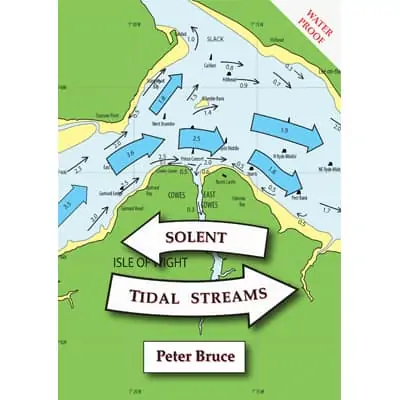
This new Solent tidal stream atlas – Solent Tidal Streams – was published in July 2020.
The conveniently sized booklet follows a succession of popular tidal stream atlases created by Peter Bruce since 1993. He has used material from his own records plus information obtained from organisations for scientific research such as the latest data from ABPmer at Southampton. The book’s introduction clarifies every common tidal supposition and may come as a surprise to some. The charts, which relate to six hours before and after High Water Portsmouth, extend from the south west Shingles Buoy in the west, to the Forts in the east and south to Bembridge Ledge. As before, the rate and direction of the stream is for a Portsmouth range equivalent to mean spring tide.
The clear and easy to use booklet uses tough waterproof paper and is very reasonably priced.

