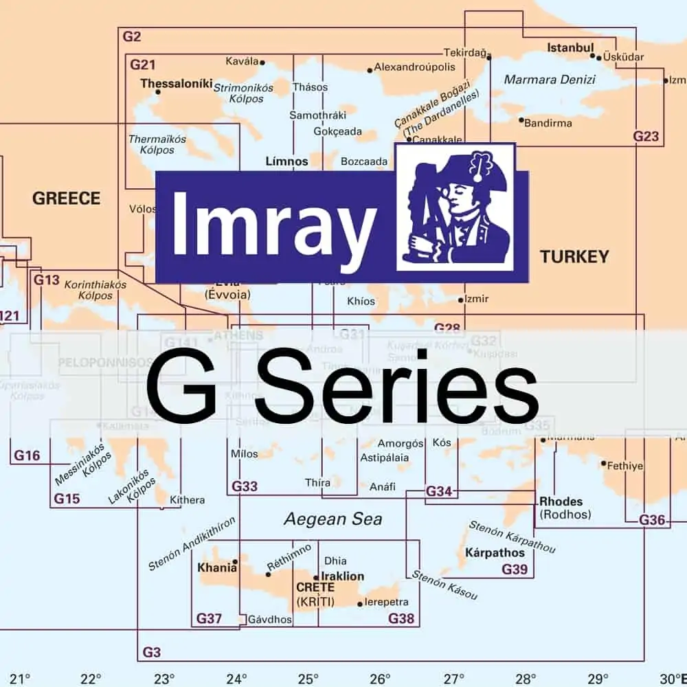
Chart Imray G Region Charts – Greece & Turkey
£23.95
Imray Nautical charts covering Greece & Turkey
For chart coverage please click HERE
G1 Mainland Greece and the Peloponnisos – Passage Chart
G2 Aegean Sea (North) – Passage Chart
G3 Aegean Sea (South)
G11 North Ionian Islands – Nísos Kérkira to Nísos Levkas
G12 South Ionian Islands – Nísos Levkas to Nísos Zákinthos
G13 Gulfs of Patras and Corinth – Patraïkós Kólpos and Korinthiakós Kólpos
G14 Saronic and Argolic Gulfs
G15 Southern Pelopónnisos – Órmos Navarínou to Nísos Kithíra and Ákra Tourkovigla
G16 Western Pelopónnisos – Killini to Kalamáta
G21 Northwest Aegean
G22 Northeast Aegean
G23 Marmara Denizi
G25 Northern Sporades and North Évvoia
G26 Nísos Évvoia
G27 Nísos Lésvos & the Coast of Turkey
G28 Nísos Khíos & the Coast of Turkey
G31 Northern Cyclades
G32 Eastern Sporades, Dodecanese and the Coast of Turkey
G33 Southern Cyclades – (West Sheet)
G34 Southern Cyclades – (East Sheet)
G35 Dodecanese and the Coast of Turkey
G36 Marmaris to Kekova Adasi
G37 Nísos Kríti (West)
G38 Nísos Kríti (East)
G39 Nísos Kárpathos to Nísos Ródhos
G40 Kan to Antalya
G121 The Inland Sea
G141 Saronikós Kólpos – Corinth Canal to Ákra Soúnion and Nísos Póros

